THE PEDDARS WAY
by Barry Van-Asten
The Peddars Way is a long distance walking route in Norfolk, 46 miles long which follows the original Roman Road, but it may be even earlier. The route is also accessible by bike for most of the way and with the diversions from the track (footpath only, no bridleway) cycling the Peddars Way extends the mileage to around 60 miles.
Day One
We began the journey with a stop-over in Kings Lynn and an early start the next day to the little 'Eastern European' market town of Thetford, in Norfolk. From Thetford we rode through Euston to Knettishall Heath.
Knettishal Heath on the Norfolk/Suffolk border, the start of the Peddars Way.
The first day of the ride!
we rode past Bridgham and on to Roudham.
St Andrew's Church, Roudham.
This ruined medieval church was abandoned when in 1736, a workman mending the lead on top of the tower carelessly caused a fire from the pipe he was smoking. The roof ignited and only the walls are left standing.
The route is well marked and difficult to get lost!
We continued on to Illington and as the light was fading fast we made it to East Wretham where we filled up on water at the Dog and Partridge Pub.
Dog and Partridge, Wretham.
Intending to ride on to Little Cressingham where we would pitch out tent, feeling tired after cycling approximately 22.5 miles and not wanting to travel in the dark, the kindly Landlord of the Dog and Partridge Pub, whose birthday it was, said we could pitch our tent in his beer garden for the night!
Day Two
From East Wretham we skirted round the Army training area at Galley Hill which was created in 1942 and is a natural haven for wildlife and on past Thompson Water towards Merton. Then we cycled on to Little Cressingham and towards North Pickenham.
'A Norfolk Songline'
The footprint of our ancestors
Familiar as our own faces
Remote as fossils
Written on clay
And washed away
Over & over
Over and over
one of the many sculptures along the route carved by Tom Perkins. The inspiration for the art project is the Aboriginal 'songline' belief of how 'each ancient track is the score of a vast, epic song, whose verses tell the stories of how the landscapes and its landmarks came into being.' The storyteller is Hugh Lupton and the artist is Liz McGowan.
Surveyors have made their lines on the land
Trapping Albion in a net of roads
A taut web on the edge of empire
St Andrew's Church, North Pickenham
The remains of the priory (Cluniac)
On past the priory and over the little bridge which crosses the ford to the beautiful village of Castle Acre. Riding past the Old Red Lion and through the impressive Bailey Gate to reach Stocks Green where the heart of the village beats!
Castle Acre and a good place to rest!
The local shops.
The Ostrich Pub.
As the day draws to a close!
From Blackwater Carr to Seagate
Since the plough first broke the bread of land
Pightles and pieces plots & pastures
To every man his stony acre
(a Pightle is an old Norfolk/Suffolk word for a small enclosure of land)
Not far from reaching the village of Fring.
As day turned to night and cycling approximately 23 miles
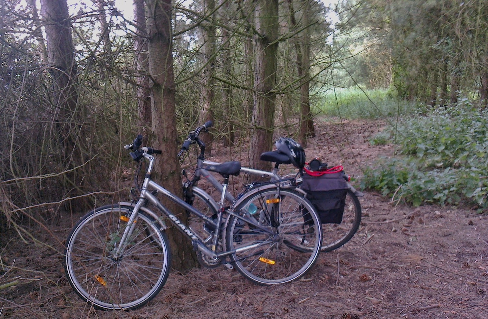
we had to find a suitable place to pitch camp!
The next morning and well rested!
The night in the pine wood was perfect!
Day 3
We set off and headed for Fring. Then we cycled on to Sedgeford and Ringstead!
The way ahead, towards Fring!
The Gin Trap Inn at Ringstead.
Very low on water since breakfast at camp, we had tea and filled our water bottles at the delightful Gin Trap Inn at Ringstead!
Seeing the windmill hinted that the end was in sight!
The final stone 'Songline'
And I being here have been part of all this
Caught & thrown like sun on water
Have entered into all around me
The sign post at Holme next the Sea where the
Peddars way fades into the Norfolk Coastal Path
Old Hunstanton
We continued on and followed some of the Norfolk Coastal Path through Old Hunstanton and Hunstanton and finally ending our journey at Heacham after approximately 13 miles!


