Saturday, 31 May 2014

Walks in the Peak District 2

WALKING TO KINDER SCOUT
by Barry Van-Asten
 
 
We began the walk from the village of Edale in Derbyshire. Edale is the starting point for the long distance walk the Penine Way (256 miles or 412 kilometres), which begins near to the village pub the Old Nag's Head Inn. The Old Nag's Head was formerly a blacksmiths dating to 1577. Following the Penine Way we entered several fields and walked along the stone-paved path which climbs gently


a disused and abandoned farm dwelling before reaching Upper Booth Farm (where ice-cream and drinks are available). After passing through the farmyard and turning right into the lane the bridge comes into view.


After crossing the River Noe via the little footbridge we ascended through a gate which leaves the Penine Way and a beautiful track follows the Crowden Brook


The winding track and the brook


another glimpse of Crowden Brook


cross the footbridge and ascend the clough (steep bank) opposite


a view of Crowden Tower


an excellent spot for lunch as we listened to the curlews!


the scramble towards Crowden Tower continued!


me at Crowden Tower (619 metres) on the Kinder plateau


We continued as the rain began and the wind howled through the gigantic boulders which litter the top of the plateau. The peat was sodden and finding an easy route amongst the rock formations was difficult on the desolate and isolated moors of Kinder. It is easy to become disorientated when there is absolutely no-one about!


The Penine Way path towards Kinder Low was a glorious sight!
 
 
Kinder Scout (2,087 feet or 636 metres) is the highest point is Derbyshire and was the site of the 1932 Mass Trespass which lead to the opening up of the English countryside for walking. There is a legend concerning a beautiful mermaid who becomes visible when you look into the water at midnight on Easter Eve. We ended the walk back at Edale and had a fine dinner (and a pint of Nags 1577) at the Old Nag's Head Inn which according to legend is haunted by the ghosts of airmen who were taken there after their bomber plane crashed on Kinder Moor. There are over fifty plane crash sites on the Dark Peak and over a hundred deaths were reported!


Walks in the Peak District 1

WALKING FROM HOPE TO EDALE
VIA MAM TOR
by Barry Van-Asten


We were camping at the Field Head Camp site in Edale near to its lovely parish church dedicated to the Holy and Undivided Trinity, built in 1885. Following a day of persistent rain we decide to take a walk from the village of Hope, crossing Mam Tor and back to Edale.


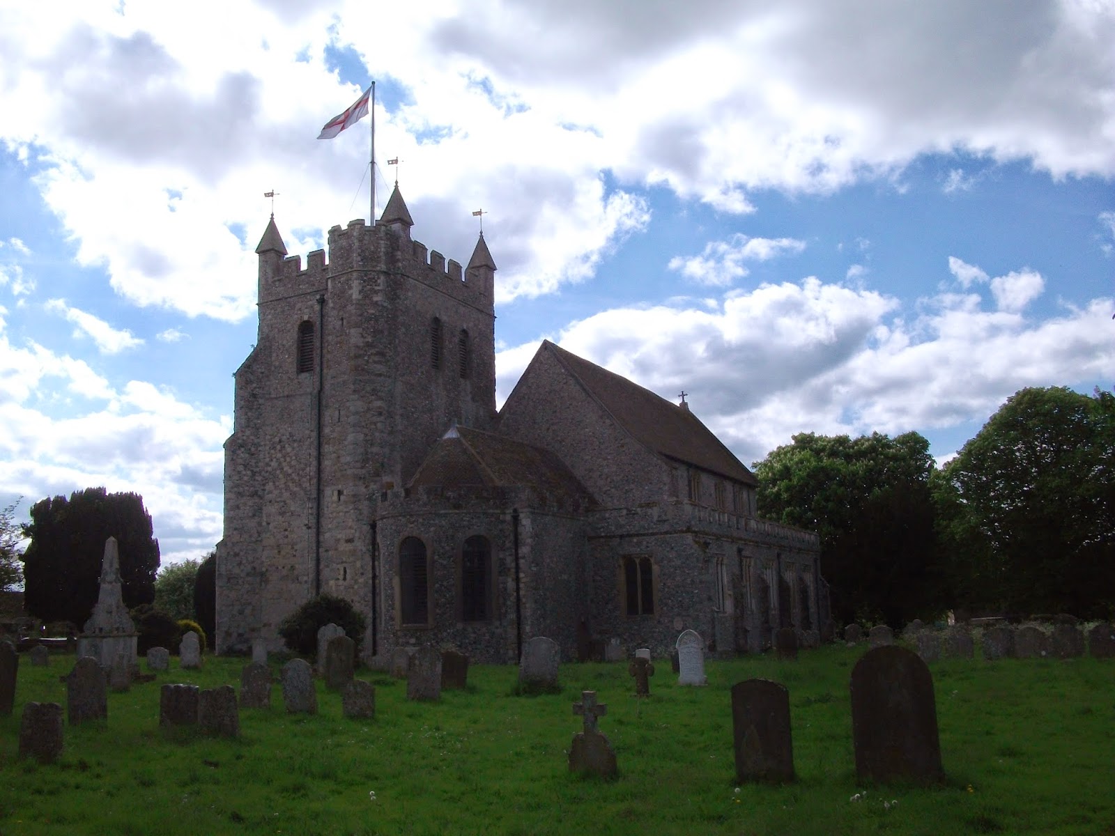
Hope parish church of St Peter, Derbyshire.
 
This wonderful church in the village of Hope opposite the Old Hall Hotel, has the remains of two ancient crosses in its churchyard. One is the sandstone shaft of a Saxon Cross and the other is the 'Eccles Cross'.


walking towards the village of Castleton


sheep were friendly!


a glimpse of sun towards Castleton


I counted 42 dead moles nailed to a tree just
before the village of Castleton, near the farm!


The walk towards Mam Tor
 
 
This part of the walk became very dramatic with the hills and the remains of the lead mine approaching. 


the remains of the disused Odin lead mine


caverns near Odin's Mine
 
 
Just beyond this point the old abandoned road which was closed in 1979 due to landslides is reached and great chunks of tarmac seem to undulate and drift into the landscape.


the ridge to the top of Mam Tor


The views across to Kinder and down into the Edale valley were stunning and worth every bit of the climb to the ridge!


towards the top of Mam Tor
 
 
Mam Tor which means 'Mother Hill' is 1,696 feet (517 metres) high and on its summit is the Trig Point which also marks the location of an Bronze-Age/Iron-Age Hill Fort. Near to the trig is also a Bronze-Age burial mound.


MamTor Trig Point
 
 
From the top of Mam Tor it was a simple walk down the bridle way and to the village of Edale. However, there is a distinctive winding road near the bottom which is all too easy for cars to park and 'walkers' to 'rush-up' and reach the trig in 20-30 minutes! We took over seven hours completing the walk (the scenic and harder route) and felt better for the experience!


Sunday, 27 April 2014

WALKING THE NORTH DOWNS

IMAGES OF THE NORTH DOWNS
by Barry Van-Asten


The specially commissioned seat which marks the beginning of
The North Downs Way. 


 The strange fairy Tree House 4 B near the village
of Seale.


The sweet chestnut tree is home to 'unseen' wood
dwellers and an array of gifts festoon the tree.


The path climbs and meanders through some
stunning landscapes.


St John the Baptist Church in Puttenham.


The old Village Well as you enter the church.


St Catherine's Chapel near Ferry Lane built in the
early 14th century. During the 16th century it fell
out of use and gradually became a ruin.


The Godalming Navigation, part of the River Wey, opened
in 1764.


Woodland pathways dominate the first sections of
The North Downs way.


One of the many 'pillboxes' on the route, some of which can be
entered. I counted 12 in the space of a day's walk.


The long march past Denbies Wine Estate (England's
largest vineyard) with the endless rows of vines.


There are many wooded sections during the Surrey half
of the walk such as here at Box Hill, and even into Kent.


Amazing views of the Downs!


The track winds through some of the most beautiful 
countryside England has to offer!


The North Downs were surprisingly quiet in
comparison to the South Downs, which gets
lots of walkers during the summer months.


A view of the chalk ridge.


The Inglis Folly


The folly which was donated to the Borough of
Reigate in 1909 by Lieutenant Colonel Sir Robert
William Inglis, VC. Originally a drinking fountain
the folly now houses a topography with the night
sky painted onto the ceiling.


A view of the setting sun from the folly!


The 11th century St Bartholomew's Church, Otford.


There is also some serious climbing of hills to be done!


But the views are worth every step!


Sun, seclusion and song birds!


A Way Marker.


Woods before the Bluebells carpeted the ground.


The quiet village of Hollingbourne.


The 14th century All Saint's Church, Hollingbourne.


All Saint's Church, Hollingbourne. 


The Old Hall in Hollingbourne.


The walk towards Harrietsham.


A fine sunset seals the day!


The War Memorial at Harrietsham.


 St John the Baptist Church, Harrietsham.


The Pilgrim's Rest
A wooden sculpture of Brother Percival near the
village of Harrietsham.


The 13th century parish church of St Peter and
St Paul in Charing.


The beautiful church at Charing.


Death on the Downs!
one of the many delightful encounters upon the path which
included dead rabbits, birds (such as this pheasant), and other
unfortunate creatures!


The spooky ruins of St Mary's Church, Eastwell.


This magnificent old church was a lovely sight towards the end
of the day and is said to be haunted by a ghostly monk!


A view of the lake from the old church.


St Gregory's and St Martin's parish church at Wye, Kent.


The view from Wye Crown.


The Devil's Kneading Trough.


Near Cobb's Hill.


A dappled glade of Ramsons (wild garlic).


We took a bunch home for the pot!


This poor bunny escaped the pot!


And so did the remains of this pheasant
on the way to Etchinghill!


Just nine more miles to Dover!


Towards Folkestone.


World War II Pill Box.


We investigate!


Inside the Pill Box.


The eerie interior.


A good location with outstanding views all round!


Well situated beside the North Downs Way
and the Saxon Shore Way!


Castle Hill.


Pill Boxes seem to dominate this part of the landscape.


And some are a little more hidden!


Britain's war history haunts the coastline!


Onwards towards Dover!


The Battle of Britain Memorial.


A beautiful rest spot for walkers.


The glorious Spitfire!


A tranquil place for contemplation!


And a place to honour the brave souls


Who fought for our freedom!


But Dover still beckons!


Coastal fortifications intensify!


Perhaps monuments for future preservation!


Fascinating constructions which increased my personal
enjoyment of walking the North Downs!


Almost there!


Dover comes into view!


The Drop Redoubt at Western Heights.


The first phase of building took place during
the Napoleonic Wars in 1804-1808.


The second phase was 1859-1864.


The lights of Dover with the Castle centre stage and
the end of the North Downs Way is on the Seafront!